
Palm Beach Gardens · Local Guide
A Local's Guide to Palm Beach Gardens, Florida
The map makes sense once you know what PGA Boulevard does, where the City line actually runs, and how the communities, the Donald Ross corridor and the land west of the Turnpike differ from one another.
By Christine DekantUpdated

The John D. MacArthur marker at the City Hall campus on North Military Trail, Palm Beach Gardens.
A visitor sees the Gardens Mall and a golf course and has the place figured out. Someone who lives here reads the city differently: as one long east-west road with several distinct environments hanging off it, a municipal boundary that runs where the mail does not, a corridor of newer construction to the north, dozens of planned communities with their own rules, and a western half that is mostly open land.
This is the orientation we give people who are new to Palm Beach Gardens. It covers what PGA Boulevard does, how to tell the City from a Gardens mailing address, four practical ways to read the map, where the walkable pockets are, what the City itself runs, what the seasons change, and how to start narrowing where to live. For the texture of daily life, read what living in Palm Beach Gardens is really like; for the communities one by one, the neighborhoods guide.
In this guide
PGA Boulevard is the orientation line
Almost every first trip in Palm Beach Gardens starts or ends on PGA Boulevard, and the reason is simple: the things people need most are on it or a turn off it.
- Highway access. Florida's Turnpike meets PGA Boulevard at Exit 109, with a park-and-ride lot at the interchange. Interstate 95 has its own PGA Boulevard interchange east of there; the Gardens Mall describes itself as one mile east of I-95.
- Retail. The Gardens Mall, 3101 PGA Boulevard, with more than 150 stores and restaurants by its own count. Downtown at the Gardens, 11701 Lake Victoria Gardens Avenue, an open-air center beside it. PGA Commons, on the south side of PGA Boulevard between I-95 and the Turnpike, with restaurants, galleries, offices and apartments.
- Cross streets. Military Trail and Alternate A1A are the north-south roads most routes turn onto; the City Hall campus is on Military Trail just north of the boulevard. Palm Beach Gardens Medical Center, a 199-bed hospital, is at 3360 Burns Road, south of PGA Boulevard.
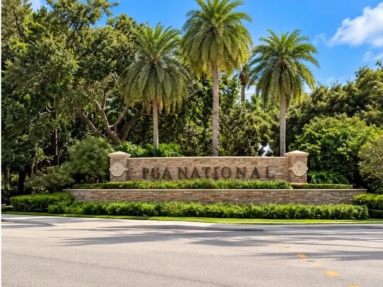
- The resort. PGA National Resort and the villages of PGA National sit along the boulevard's western stretch.
So when someone gives directions here, the first question is usually "north or south of PGA?" and the second is "east or west of the highway?" Learn the boulevard and its cross streets and the rest of the map attaches to it.
First, the boundary
The City of Palm Beach Gardens and the Palm Beach Gardens mailing area are not the same shape, and the difference matters for taxes, permitting, police, code enforcement and utilities.
The City's own FAQ gives the test: look the address up at the Palm Beach County Property Appraiser, and if the municipality field says Palm Beach Gardens, the parcel is in the City. If it says something else, it is not. The County's boundary maps and the City's GIS Division show the line itself.
Three things catch newcomers:
- The City is larger than it looks from PGA Boulevard. The Census Bureau lists 58.71 square miles of land, on its QuickFacts page, most of it west of the Turnpike.
- Gardens mail reaches into unincorporated Palm Beach County. Some large-lot and acreage subdivisions with Palm Beach Gardens addresses sit outside the City, under County zoning, County permitting and the Sheriff's Office. If you are looking at acreage with a Gardens address, Palm Beach Country Estates for example, run the Property Appraiser test before assuming City services.
- The neighbors are separate municipalities. North Palm Beach, Lake Park, Juno Beach and Jupiter each appear on the County's list of 39 municipalities with their own governments. Seacoast Utility Authority serves the City, North Palm Beach, Lake Park, Juno Beach and parts of unincorporated County, so a Seacoast water bill does not settle which one you are in.
Four ways to read the map
These are our practical descriptions, not official City districts. The City does not divide itself this way; buyers do, because each of the four has a different built form.
The PGA corridor
The commercial band along PGA Boulevard between the Turnpike and Alternate A1A: the mall, Downtown at the Gardens, PGA Commons, offices, hotels, apartments and the hospital a few blocks south. Housing here runs to condominiums, townhomes and apartments near the centers, with established single-family subdivisions behind them. It is the part of the City most people see first and the part that most resembles a conventional suburb.
Donald Ross Road and Alton
Donald Ross Road runs east-west across the north of the City. Alton, east of I-95, is the newest large neighborhood on it. Its builder, Kolter Homes, describes it as urban-designed and walkable, with parks, courts and paths, and Alton Town Center, 5320 Donald Ross Road, is the retail center residents can reach on foot or by bike. That description belongs to Alton itself. The rest of the Donald Ross corridor is conventional: gated communities, a golf community, and open road. Do not read "walkable" across the whole corridor.
The corridor's other identity is employment. The research campuses people associate with it are across the City line in Jupiter: the Wertheim UF Scripps Institute at 130 Scripps Way and the Max Planck Florida Institute for Neuroscience at 1 Max Planck Way, both with Jupiter addresses just north of Donald Ross Road. They matter to a Palm Beach Gardens address because they are next door, not because they are in the City.
The planned and club communities
The largest share of the City's housing is inside planned communities, and the single most useful distinction is whether a club comes with the deed. The table below uses each community's own site, and it is a starting point, not a substitute for the documents of the specific home.
| Community | What it is | Club with the home? | Source |
|---|---|---|---|
| PGA National | Villages around the resort's courses on PGA Boulevard | Optional. The Members Club offers memberships to residents and non-residents alike | Club site |
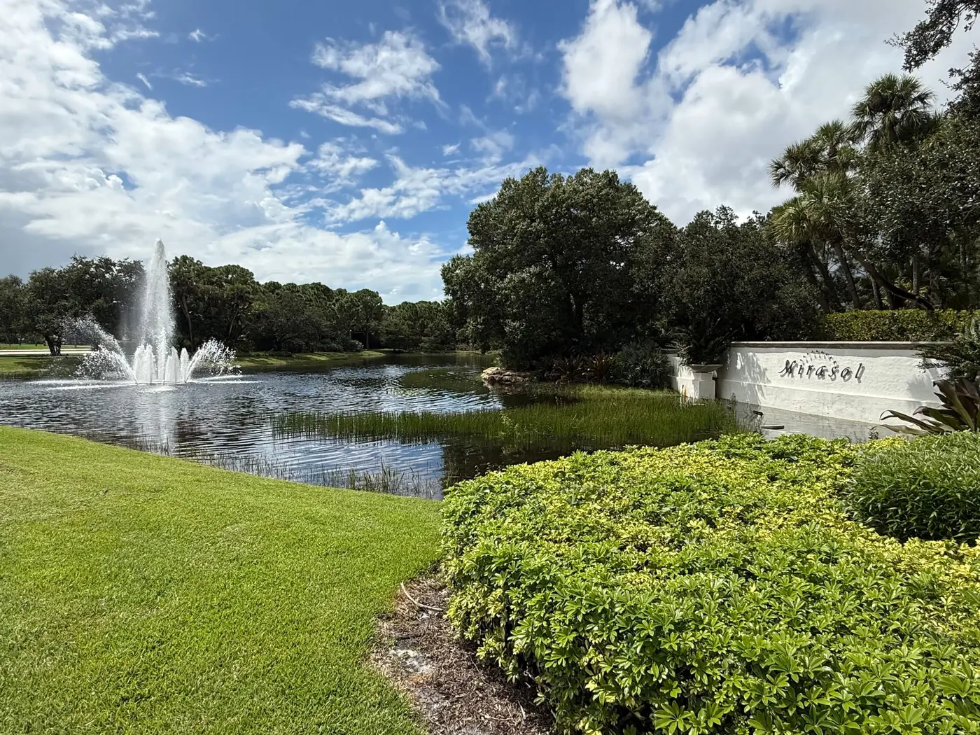
| Mirasol | A country club community with 36 holes by Arthur Hills and Tom Fazio | Mandatory. The Country Club at Mirasol says membership comes with the home and is held by the title owner | Club site |
| BallenIsles | A country club community with three courses | Mandatory. BallenIsles describes itself as a mandatory-membership community with several membership levels | Club site |
| Frenchman's Reserve | A golf community on Hood Road with an Arnold Palmer course | Equity membership in two forms, full golf and social/sport; see the club's FAQ for which applies | Club site |
| Frenchman's Creek | A beach and country club community at 13495 Tournament Drive with two courses | Mandatory. Frenchman's Creek says membership is required of residents, with an equity fee at purchase | Club site |
| Old Palm | A private golf community off PGA Boulevard west of the Turnpike, Raymond Floyd course | Private golf club community; current membership terms are on Old Palm's site | Club site |
| Evergrene | A gated community with a clubhouse, pool, courts and a 36-acre lake. Not a golf community | No club membership of the golf kind; association amenities per Evergrene | Community site |
| Avenir | A master-planned development along Northlake Boulevard, still being built, with Panther National as its golf club component | Varies by neighborhood within it | Community pages |
Each of these carries a Palm Beach Gardens address. The Property Appraiser record for the parcel confirms the municipality, and the cost of living guide walks through what a mandatory membership does to the monthly number.
West of the Turnpike
Head west on PGA Boulevard or Northlake Boulevard and the City changes character, because most of this half is not residential at all. Palm Beach County's Loxahatchee Slough Natural Area, 13,025 acres north and south of PGA Boulevard, is the County's largest natural area, with a paddle launch at 8311 PGA Boulevard. The City's own Sandhill Crane Golf Club is at 9500 Sandhill Crane Drive. Along Northlake Boulevard, Avenir is the City's large new development, and Jupiter Medical Center broke ground there in June 2026 on a neighborhood hospital and medical office building it expects to open in early 2028.
What the western side is not, inside the City, is a belt of acreage and equestrian lots. Where Gardens-address acreage exists, it tends to be unincorporated County, which is the boundary point above. Check the parcel before you assume either way.
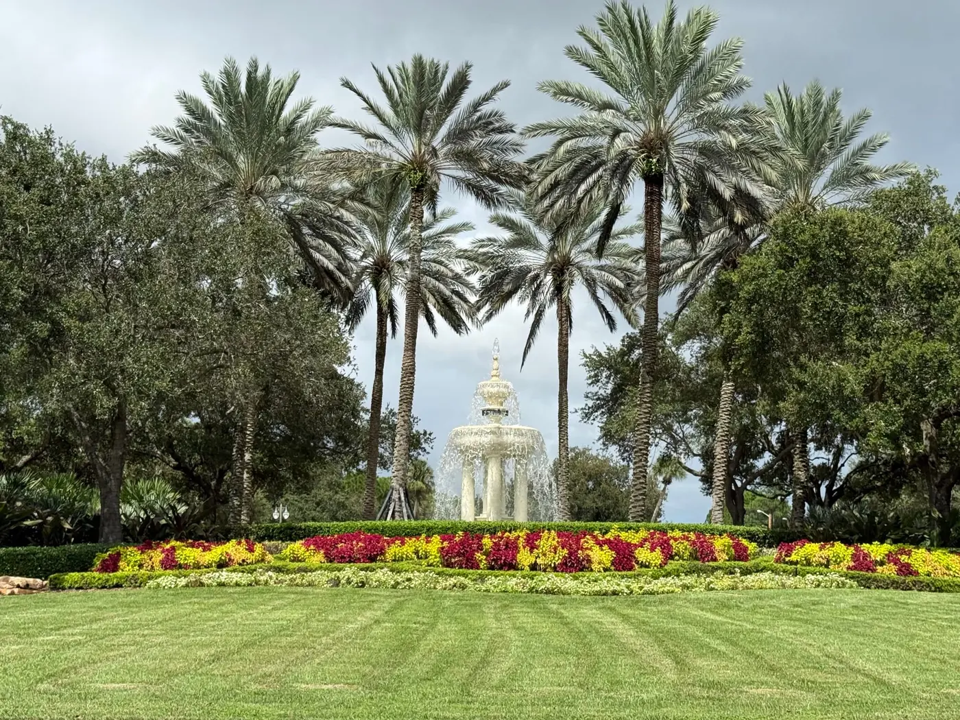
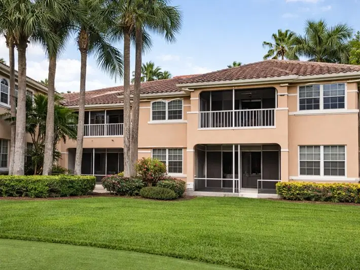
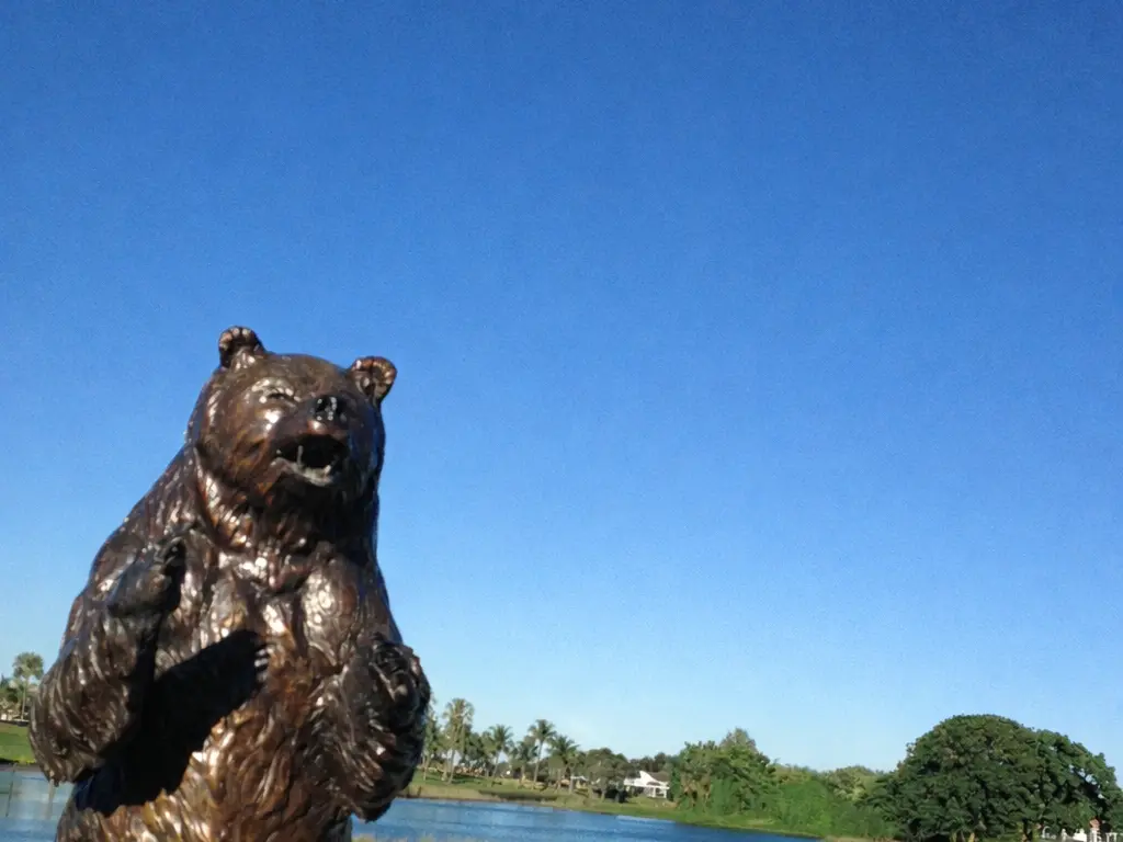
Scenes from the planned side of the city
Walkable, and what the word covers here
Palm Beach Gardens is organized around the car, and the walkable places are specific rather than general:
- Alton, as its builder describes it, with Alton Town Center at its edge.
- Downtown at the Gardens and PGA Commons, where you park once and walk between shops and restaurants.
- The Gardens Mall, indoors.
- Inside the communities, on their own paths and, in many of them, by golf cart on private streets. On public roads, Florida law allows golf carts only where the City or County has designated and signed a street for them, per section 316.212, Florida Statutes.
Beyond those, a listing that says "walkable" deserves a walk from the front door before you believe it. Palm Tran serves the City with Route 1 on US-1, Route 20 on Northlake Boulevard, Route 33 to the Gardens Mall and Route 10 to Jupiter; whether one fits a routine depends on the exact address and the current schedule.
What the City itself runs
A lot of the public side of daily life here is municipal, and the City's own pages are the ones to check:
- Parks and facilities.** The City lists Gardens Park, Gardens District Park, PGA National Park, Mirasol Park, Plant Drive Park, Lilac Park, Lake Catherine Sports Complex and the Joseph R. Russo Athletic Complex among its parks, with the Burns Road Community Center, the aquatic complex and the tennis and pickleball center as its main indoor and sports facilities.
- The Gardens GreenMarket.** A City-run Sunday market at the City Hall campus, 10500 North Military Trail, with produce, prepared food, flowers, crafts and live entertainment, running on a published seasonal schedule. The City's page carries the current season's dates and any cancellations; this article does not.
- Sandhill Crane Golf Club.** The City's public course, with a par-3 course and a restaurant open to the public.
- Special events** and the Recreation Department's program listings, for what is scheduled in a given month.
For a fuller list of places, see the things to do and hidden gems guides.
The seasons, as the weather service defines them
South Florida has two seasons, and the National Weather Service in Miami defines them: a wet season from May 15 through October 15, when 60 to 70 percent of the year's rain falls, and a dry season the rest of the year. Hurricane season runs June 1 through November 30, per the Florida Division of Emergency Management, and the City's Hurricane Readiness page is the local starting point for a plan.
Two fixed points on the City's calendar:
- The PGA TOUR event. The Cognizant Classic in The Palm Beaches, formerly the Honda Classic, is played each spring on the Champion Course at PGA National. The TOUR publishes each year's dates; if you live near the resort, that week changes the traffic around it.
- The GreenMarket season, on the City's schedule above.
What this article does not claim is how full the restaurants are, how PGA Boulevard moves in February, or when part-time residents come and go. Those change by year and by street, and they are things to see for yourself.
East, west, and the first narrowing decision
People shopping here tend to narrow the map before they narrow the house, and the useful axis is geographic rather than a price rule. Working from the coast inward:
- East of I-95 puts you nearest the neighboring beach towns, the Intracoastal Waterway, Alternate A1A and the older subdivisions, with Alton and the Donald Ross corridor at the north end.
- Between I-95 and the Turnpike is the PGA corridor and the largest concentration of established planned and club communities: PGA National, BallenIsles, Mirasol, Frenchman's Reserve and their neighbors.
- West of the Turnpike is Avenir, Old Palm, the natural area, the City golf course, and, outside the City line, the unincorporated acreage.
We do not publish an east-versus-west price rule, because the spread inside each band is wider than the spread between them, and a sentence about price per square foot goes stale in a season. The listings on the community page show what is on the market today, and the cost of living guide builds the ownership number for one address.
Then decide the second question: club or no club. It shapes the monthly cost more than the street does.
Things that make Palm Beach Gardens easier to understand
- The City and the mail are different shapes. The Property Appraiser's municipality field is the test.
- Club and community costs vary by community, not by city. Mandatory, optional and none all exist within a few miles of one another.
- The beach is outside the City. The Atlantic beaches are in Juno Beach, Jupiter and on Singer Island, each under its own rules. The living in Palm Beach Gardens guide covers what that means day to day.
- Association and club obligations are verified per property, from the documents, not from a listing summary.
- Storm planning uses official sources: the City's hurricane page, Palm Beach County's emergency management, and the FEMA Map Service Center for the parcel's flood zone.
- PGA Boulevard is the orientation line, with the Turnpike at Exit 109 and I-95 as the two north-south highways. The commercial airport for the county, Palm Beach International Airport (PBI), renamed President Donald J. Trump International Airport in 2026, is south of the City in West Palm Beach, as is downtown West Palm Beach. We do not publish drive times to either.
Where to go from here
Read the map in this order: find the City line for any address you are serious about, place it in one of the four environments above, and settle the club question. Then use the neighborhoods guide for the communities, the pros and cons for the trade-offs, the practical fit guide to test an address against your routines, and Palm Beach Gardens vs nearby cities if the beach towns are still in the running.
Community Guide
Neighborhoods, schools, prices, and lifestyle — all in one place.
Palm Beach Gardens Market Trends
Live data from the local MLS.
Homes for Sale in Palm Beach Gardens
Single-family homes $500k+, updated daily.
Next step
Narrowing down a part of Palm Beach Gardens? Start with the community guide and current listings, or ask us which communities fit the map you have in mind.
Frequently Asked Questions
How is Palm Beach Gardens laid out?
Around PGA Boulevard, which carries the Gardens Mall, Downtown at the Gardens, PGA Commons and the interchanges with Florida's Turnpike at Exit 109 and Interstate 95. Off it, the City reads as four practical environments: the PGA commercial corridor, the Donald Ross corridor with Alton, the planned and club communities between the highways, and the mostly open land west of the Turnpike. Those are our descriptions, not official City districts.
What is the difference between a Palm Beach Gardens mailing address and the City?
The mailing area is larger than the City and reaches into unincorporated Palm Beach County, and it borders North Palm Beach, Lake Park, Juno Beach and Jupiter, which are separate municipalities. The City's test is the Palm Beach County Property Appraiser record: if the municipality field says Palm Beach Gardens, the parcel is in the City. A Seacoast Utility Authority water bill does not settle it, because Seacoast serves several of these jurisdictions.
Is Palm Beach Gardens on the beach?
No. The City does not front the Atlantic. The beaches are east of it in Juno Beach, Jupiter and on Singer Island, each a separate municipality or a state or County park with its own rules.
Is Palm Beach Gardens walkable?
In specific places. Alton is described by its builder as a walkable community with Alton Town Center at its edge; Downtown at the Gardens and PGA Commons are park-once-and-walk centers; and the planned communities have their own paths and, on private streets, golf carts. Most of the City is organized around the car, and Palm Tran's Routes 1, 20, 33 and 10 serve parts of it.
Do all Palm Beach Gardens communities require club membership?
No. Mirasol, BallenIsles and Frenchman's Creek say on their own sites that membership comes with the home. PGA National's Members Club offers memberships to residents and non-residents, so it is optional there. Evergrene is a gated community without a golf club. Confirm the terms for the specific property from its documents.
What is The Gardens GreenMarket?
A City of Palm Beach Gardens Sunday market at the City Hall campus, 10500 North Military Trail, with produce, prepared food, flowers, crafts and live entertainment on a seasonal schedule. The current dates and any cancellations are on the City's GreenMarket page.
How do I-95 and Florida's Turnpike relate to Palm Beach Gardens?
Both cross the City north to south and both have PGA Boulevard interchanges: the Turnpike at Exit 109, with a park-and-ride lot, and I-95 about a mile west of the Gardens Mall. Palm Beach International Airport, renamed President Donald J. Trump International Airport in 2026, and downtown West Palm Beach are south of the City. We do not publish drive times.
Keep Reading
- What It's Really Like Living in Palm Beach Gardens, Florida →
- Best Neighborhoods in Palm Beach Gardens, Florida →
- Cost of Living in Palm Beach Gardens, Florida →
- Best Things to Do in Palm Beach Gardens, Florida →
- Is Palm Beach Gardens, Florida a Practical Fit for Your Day-to-Day Priorities? →
- Palm Beach Gardens vs Nearby Areas: How to Compare Properties, Not Just City Names →
This article is provided by DO Homes Group at Premier Brokers International for informational purposes only and does not constitute legal, financial, tax, or investment advice. Market statistics, pricing, availability, HOA fees, and community details change frequently and may have changed since publication. School assignments, boundaries, and ratings may change — verify all school information directly with the appropriate school district, and consult official public safety resources for any crime data relevant to your search. Verify all details independently and consult the appropriate licensed professionals before making any real estate decision. DO Homes Group is committed to Equal Housing Opportunity and does not discriminate on the basis of race, color, religion, sex, handicap, familial status, or national origin.